
Map Canvas Controls and Basemaps in QGIS
What you'll learn
- How to navigate the map canvas in QGIS
- How to show a basemap on the map canvas
Recommended for
- Anyone who wants to learn how to navigate the map canvas in QGIS
- Anyone who gets lost on the map in QGIS
- Anyone who wants to search for place names in QGIS
Introduction
This article introduces how to navigate the map canvas (map view), a basic operation in QGIS.
Show a basemap
The article “The QGIS Screen Layout (User Interface) Explained, Including How to Customize It” introduced the layout of the QGIS window.
As that article explains, when you create a new project, no layers are added at first, so the map canvas is completely white.

Before you navigate the map canvas, show a basemap first. Add OpenStreetMap, which QGIS includes by default, as the basemap. In the Browser panel, expand XYZ Tiles and double-click OpenStreetMap.

OpenStreetMap appears in the map canvas.

To add other maps to XYZ Tiles, such as GSI Maps published by the Geospatial Information Authority of Japan (GSI), see this article.
Navigate the map canvas
Now for the map canvas controls. The tools for navigating the map canvas are grouped in the area outlined in red in the figure below.

Here is an overview of each tool.
| Tool | Description |
|---|---|
| Pan Map | Moves the visible area by dragging on the map |
| Pan Map to Selection | Centers the map on the selected features |
| Zoom In / Zoom Out | Zooms the map in or out |
| Zoom Full | Fits all layers in the project into the map canvas |
| Zoom to Selection | Zooms so that the selected features or area fill the screen |
| Zoom to Native Resolution (100%) | Zooms to show raster data at its original resolution |
| Zoom Last / Zoom Next | Goes back to a previously displayed area of the map, or forward again |
Zoom the map
When QGIS first opens, the Pan Map icon is active. In this state, you can zoom the map in and out by scrolling the mouse wheel forward and back.
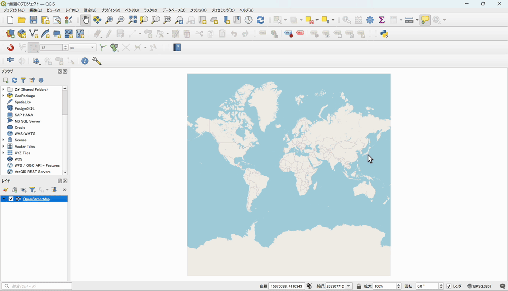
You can also use the magnifier icons with a plus or minus sign (Zoom In and Zoom Out) in the toolbar to zoom in or out on a specified area. Click an icon and drag on the map to specify the area to zoom in or out.
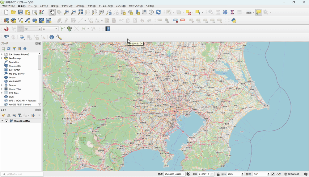
Pan the map
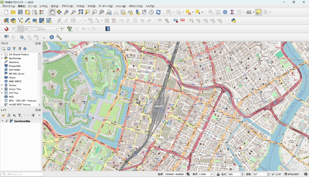
To move the map, drag with Pan Map active to change the visible area of the map canvas.
Common problems with map navigation
Dragging does not move the map
Dragging moves the map only when Pan Map is active. If dragging does not move the map, check that Pan Map is active in the toolbar.

If you get lost on the map
While you work in QGIS, the map canvas can turn completely white after a mistake, or you can zoom in or out too far and lose track of where you are looking.

In that case, click an icon such as Zoom to Layer(s) or Zoom Full in the toolbar, or right-click the layer in the Layers panel and click Zoom to Layer(s).

Search for a place name and move to it
People new to QGIS often ask, “Can I search for a place name and jump to that location, as in Google Maps?” It is not widely known, but QGIS also has a feature for searching by place name, though a simple one.
The search area at the bottom left of the QGIS window lets you search by place name and similar terms. For example, enter > 札幌市 (Sapporo; a space is required after >). The locations that match your search appear under Nominatim Geocoder.

The result 札幌市,石狩振興局,北海道,日本 (Sapporo, Ishikari Subprefecture, Hokkaido, Japan) appears, so click it.
The Sapporo area now appears in the map canvas.

You can also search for the names of major buildings, not just place names. Here are searches for 東京タワー (Tokyo Tower) and 博多駅 (Hakata Station).


This search uses a Nominatim server run by the community. Nominatim searches for locations using OpenStreetMap data, so data that is not in OpenStreetMap does not appear in the search results. It works best to search for terms that are likely to be in OpenStreetMap, such as municipality names and public facilities (such as station names).
Conclusion
This article explained the basic map controls in QGIS. They may feel somewhat complicated to new users, but learning the basic operations lets you work in QGIS more efficiently.

QGIS LAB is a comprehensive information hub for QGIS, the open-source GIS software. Under the concept of “Geospatial for Greater Good,” we share the knowledge and skills to open up the world through location data.


