
QGIS 3.44 New Features: Final QGIS 3 Release
What you'll learn
- New features in QGIS 3.44
- New ways to configure symbology and labeling
- How to visualize the Earth as a 3D globe
Recommended for
- Anyone interested in the latest QGIS features
- Anyone interested in map design
- Anyone who wants to display a map in 3D like a globe
Introduction
QGIS 3.44 “Solothurn” was released on June 20, 2025.
QGIS 3.44 is the final release of the QGIS 3 series. It prepares for the move of QGIS 4.0, scheduled for October 2025, to the Qt6 framework. It also adds new features such as the globe view and improves existing ones.
This article introduces some of the new features from the changelog for version 3.44.

3D visualization
Globe view
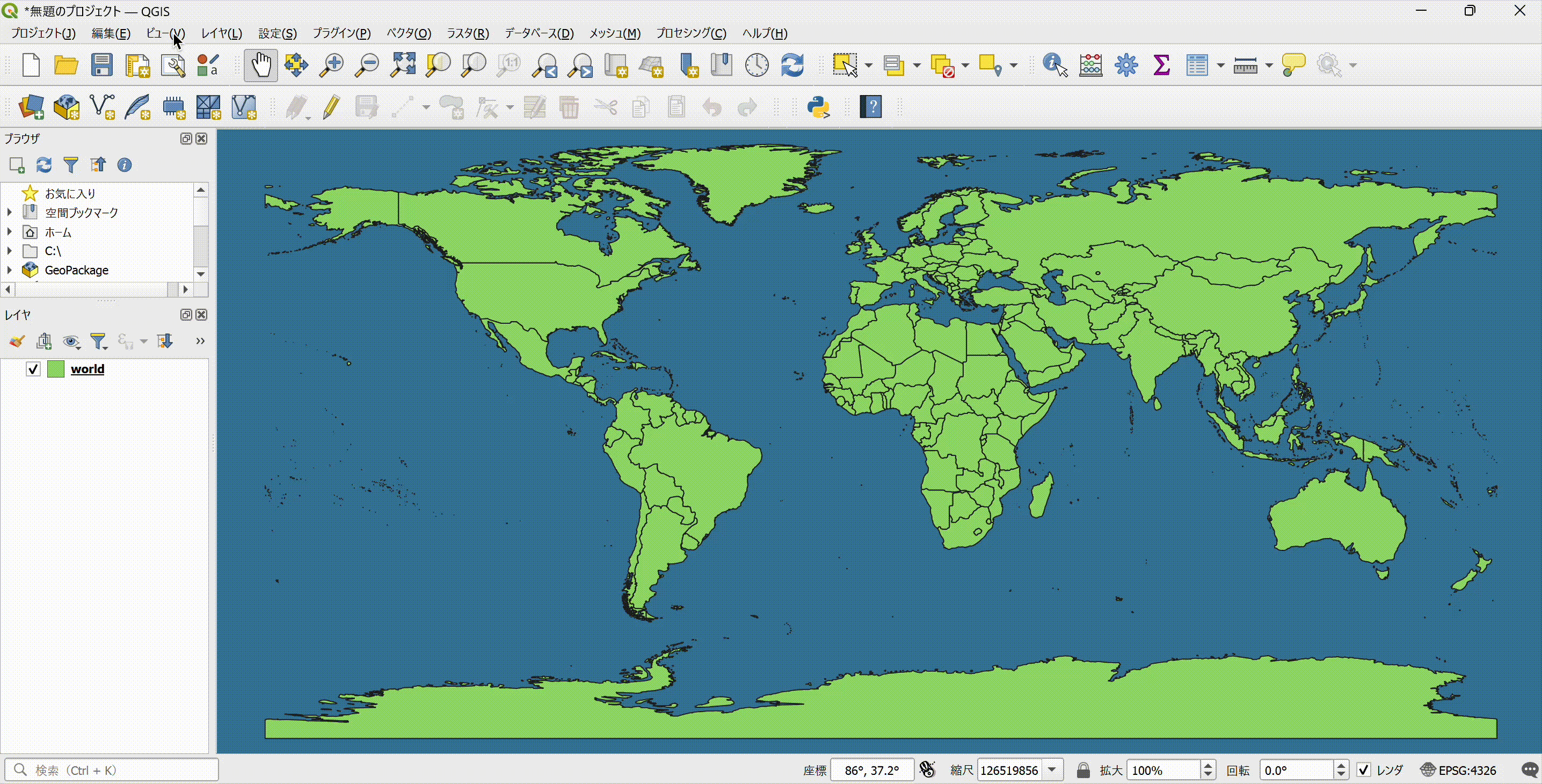
QGIS can now display a world map in 3D, like a globe. You can also overlay 3D Tiles and map data.
This new feature is a big step forward for the 3D display capabilities of QGIS.
Cross-section tool in 3D map views
A new tool creates cross sections in 3D map views. Select the tool in the 3D map view, then draw the section on the 2D map canvas.

Layer styling
Option to delete unused categories
The Categorized renderer has a new option to delete unused categories. With this option, QGIS automatically detects and deletes the categories that do not match the attribute field.
This is especially useful when you use only part of data that has many category styles.

Options for managing label placement
Vector layer labels have two new options.
Margin around labels
This feature lets you set a margin around labels and keep the layer's labels from being placed within that margin.
It is useful, for example, when you want labels to stay readable in a dense urban area.


Prevent duplicate labels
With this option, QGIS automatically removes duplicate labels when labels with the same text from multiple layers are within the minimum distance of each other.
For example, when every feature in road data has a road name label, the labels can be too dense. The option places labels at suitable intervals and makes the map easier to read.


Data management
Filter options when importing layers to a database
When you import a layer into a database as a table, you can now filter the features by extent or expression.
This spares you from filtering the data before the import and makes your work more efficient.

Save queries in Execute SQL
Execute SQL is a new feature introduced in QGIS 3.42. This feature is now extended so that you can save, insert, and delete queries from the toolbar. You can choose to save a query in the project or in the user profile.
Saving the queries you use often spares you from rewriting them every time.

Processing
Temporary output in batch processing
The batch processing feature of the Processing tools lets you run multiple processes in succession. In earlier versions, you could not set the output data as a temporary layer, which got in the way of your work.
This version lets you set intermediate data in batch processing as temporary layers, which makes the workflow more efficient.

Conclusion
QGIS 3.44 “Solothurn” includes various features that improve usability. The most notable is the globe view, which displays map data like a globe.
QGIS 3.44 adds many more features than the ones covered here. See the changelog for details.
From QGIS 3.0 in 2018 to 3.44, QGIS has made leaps in stability, performance, and features and has established itself as a reliable open source GIS. QGIS 4.0 cannot arrive soon enough.

QGIS LAB is a comprehensive information hub for QGIS, the open-source GIS software. Under the concept of “Geospatial for Greater Good,” we share the knowledge and skills to open up the world through location data.


